What you need to know to figure out how far you can go.
Once you’ve decided on a particular region and you’ve figured out how many days you can spend, the next part is planning your route and mapping your trip. I have found that, by and large, the best approach is to create a loop in which you start and stop in a large city where you can fly in and out of, and rent and return your vehicle (if necessary). A direct flight is always preferable, so if you are covering a few states with a variety of large cities you should have a few options—and then it’s a matter of getting the best price.
My most successful road trips have lasted 10-12 days and covered roughly 2,000 miles. We have done a few short trips over a week during spring break (Texas and Florida), but both seemed too short and we didn’t get to cover as much ground as we would have liked. On the flipside, by day 12 everyone is beyond exhausted—there is only so long you can live out of a suitcase or duffle bag.
 Once you’ve settled on a particular city as your starting and ending point, the next thing to do is chart your route. A big loop is usually the best way to go. Only once did I ever do a line (flying into Oklahoma, driving through Kansas, and departing from Nebraska) instead of a loop, because there just wasn’t enough to see to make it all away around.
Traveling at this pace requires that you are in a different city just about every day, occasionally staying two days if there’s a lot to see and do. As I wrote in my post about pacing your trip, 150-200 miles is a good rule of thumb for daily driving, depending on speed limits (and how frazzled you are-hungry children can definitely push you above and beyond any posted speed limit).
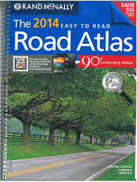
I always like to start out with a large Rand McNally road atlas. There’s just something about using this old school method that ignites my sense of adventure. First I highlight points of interest so I can get a general idea of where we want to go. Some places you may already know you want to visit and you may find lots more places that are at least worth investigating by studying the atlas pages.
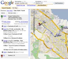
Using the mileage scale and your mileage  limits for driving, you can figure out your daily route, ending in towns that might meet the criteria for spending the night. I try to find towns that are decently sized (the larger the font on the atlas the larger the city) and close to things we want to see and do. Calculate every day’s drive till you end back where you started, closing the loop. If you prefer, you can do the same thing on Google Maps, which will give you a super accurate drive time (I use Google Maps to check myself after I am done with the atlas), but unlike the atlas it won’t have all the points of interest on the page.
Unfortunately there will be times when you have to miss something really cool because it’s just too far out of the way. You have to pick and choose and try to chart a course that has the most points of interest on your route. Mapping can require some time. You may even find once you’ve mapped a loop that maybe it’s better to do it backwards instead of forwards because certain activities/museums/sites are only open on certain days. The bottom line is: the more thorough the planning, the better your trip will be. Once you’ve got your route down pat, the next step is booking hotels and airfare!


Hi – I also found http://www.roadtrippers.com to be a very useful website to plan the travel. I find that it saves trips better than google maps. I also print from http://www.roadtrippers.com before the trip for a printed version in addition to their app.